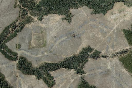
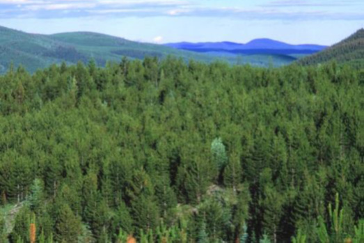
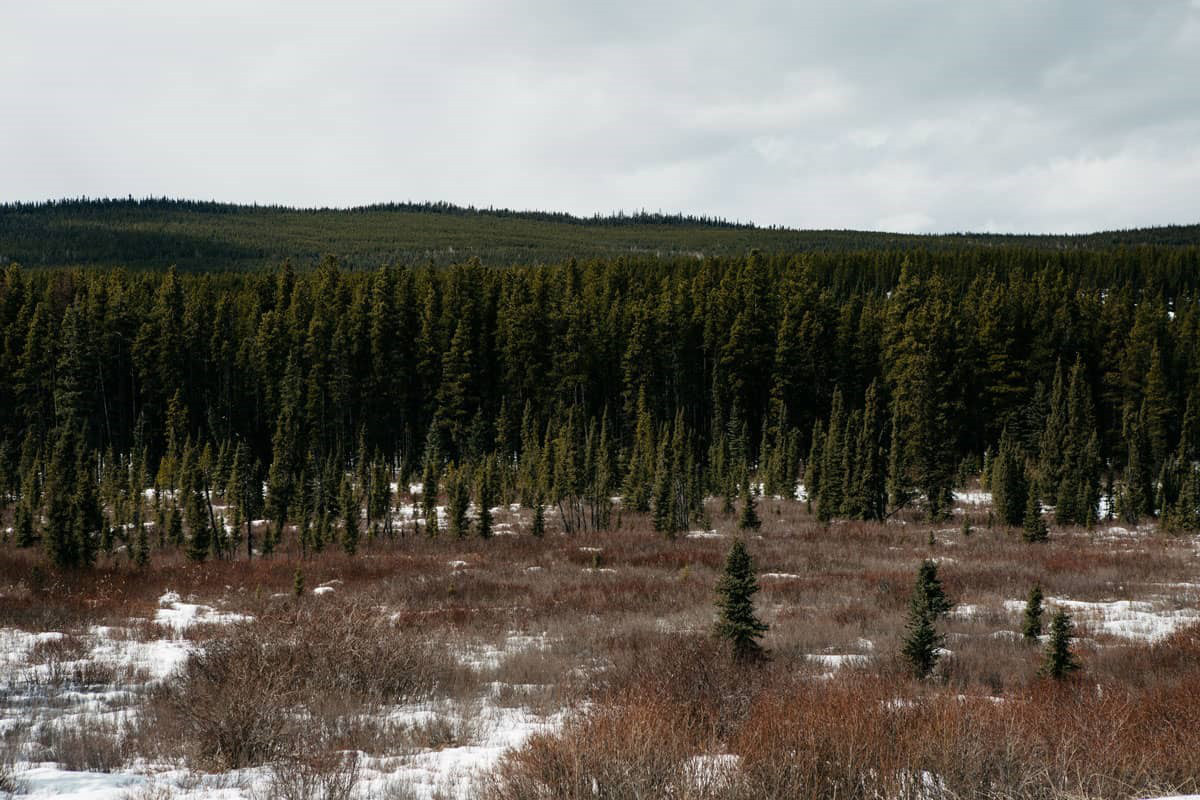
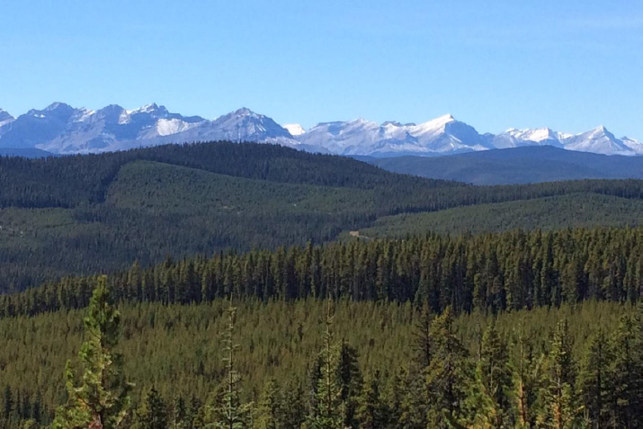
This project was a spatial modelling exercise that created coarse-scale pre-industrial landscape metrics for the Upper Peace region of Alberta. The primary goal was to understand if, or in what ways the current condition of the Upper Peace aligns with the historical range.
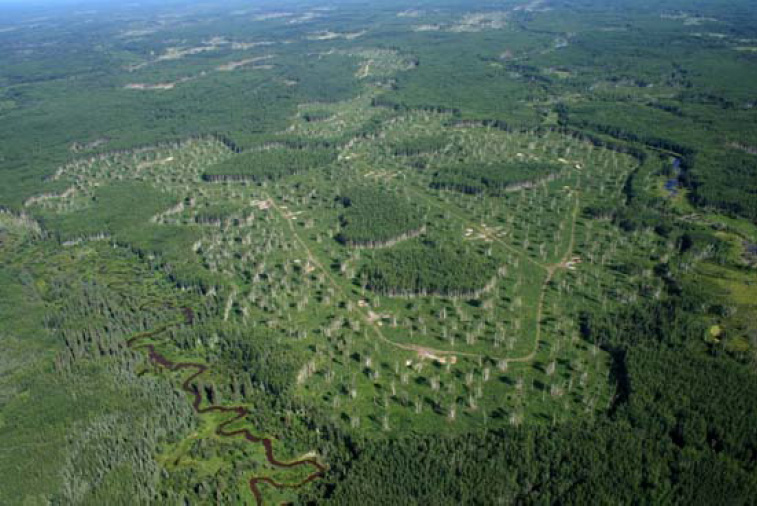
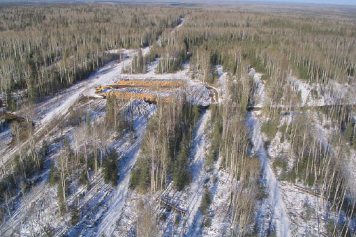
Overall, the metrics from this study suggest that this is an unbalanced landscape that is heading in the wrong direction due largely to decades of the inappropriate use of disturbance as a tool. This is likely already negatively impacting a) ecosystem resilience (to climate change), b) the likelihood of maintaining a sustainable flow of all goods and services, and c) the risk of natural disturbance agents.
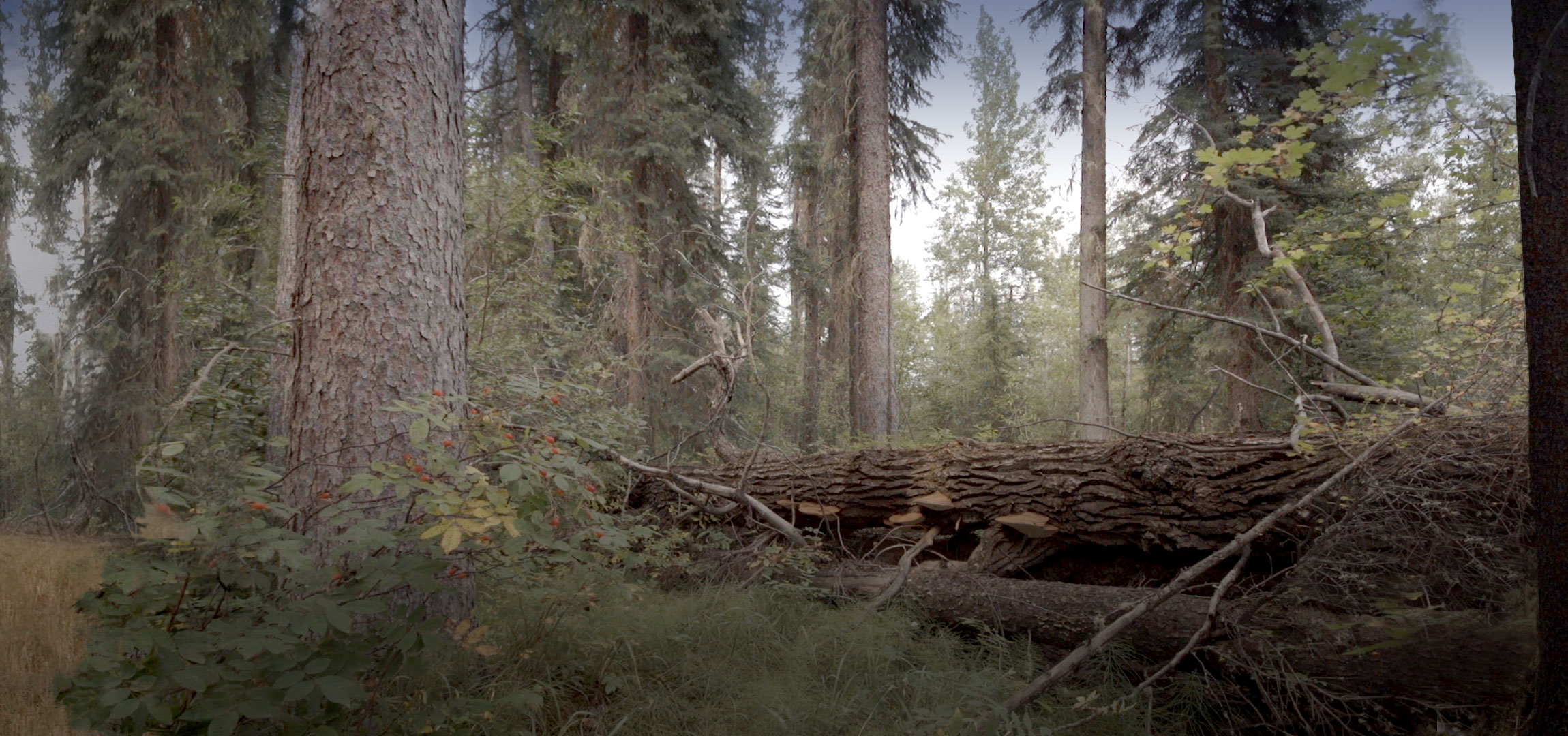
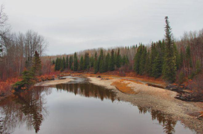
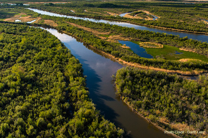
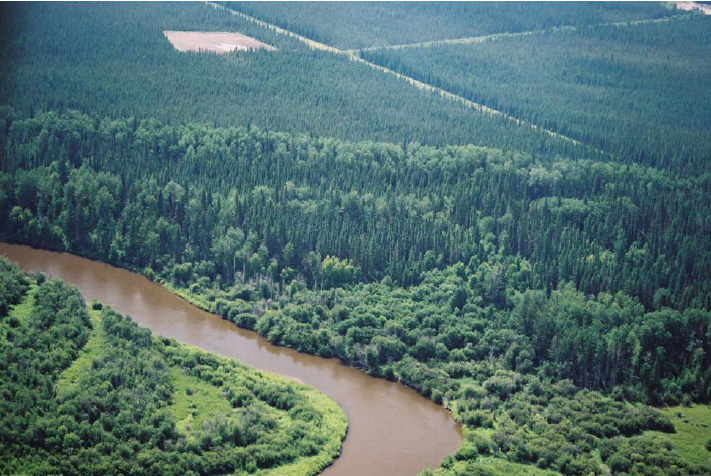
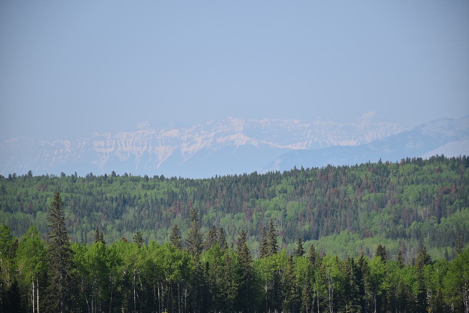
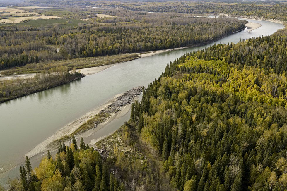
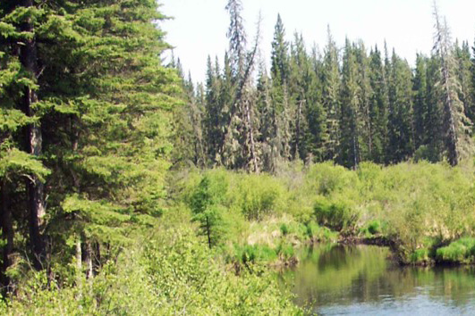
Gallery