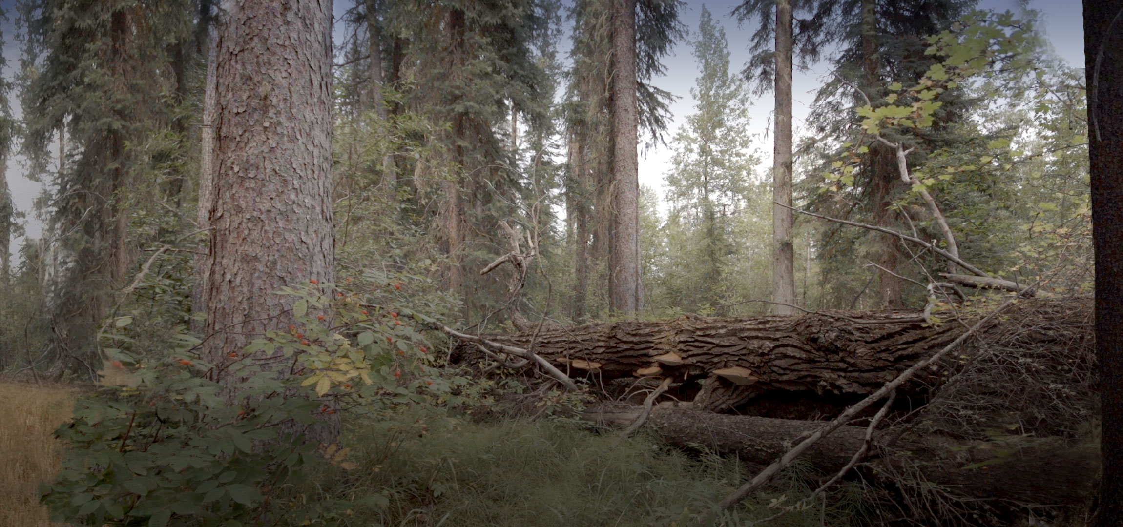
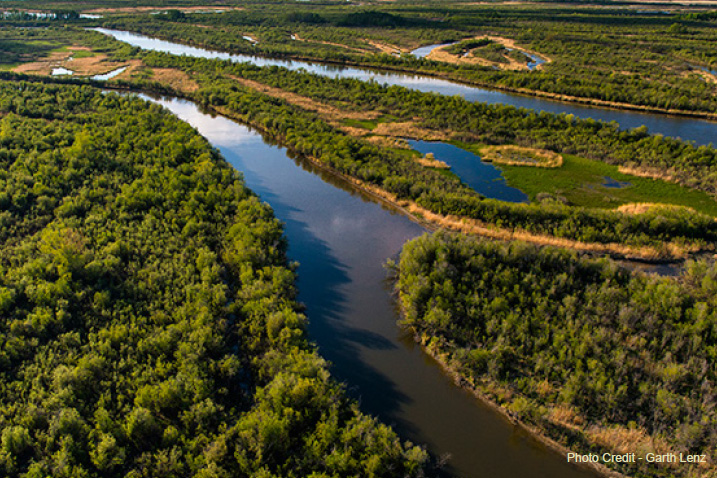
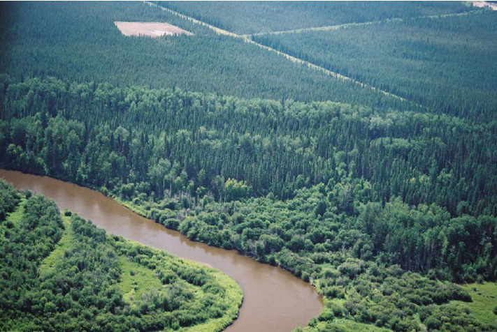
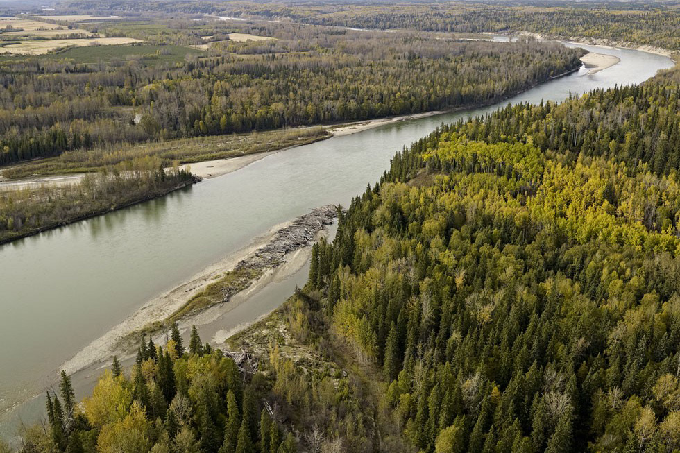
This project was a spatial modelling exercise that created coarse-scale, pre-industrial landscape metrics for the Hinton Wood Products FMA area in Alberta. The primary goal was to understand if, or in what ways the current conditions of the FMA area align with the historical, pre-industrial “natural” range. This report only covers the spatial results of the analyses.
The results suggest that areas in old forest patches from 100 to 5000 ha on the study area are well within NRV.
Spatial patterns are far more challenging to interpret than non-spatial data. Definitions of what constitutes an “edge” are complicate further by the legitimacy of edges created by various anthropogenic activities. So while these results are good news for EFP, it would be advisable to better understand the nature and sources of how “patches” are defined with a more robust GIS exercise that includes a range of old forest edge definitions.


