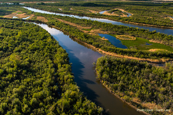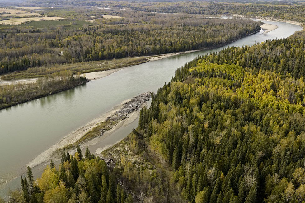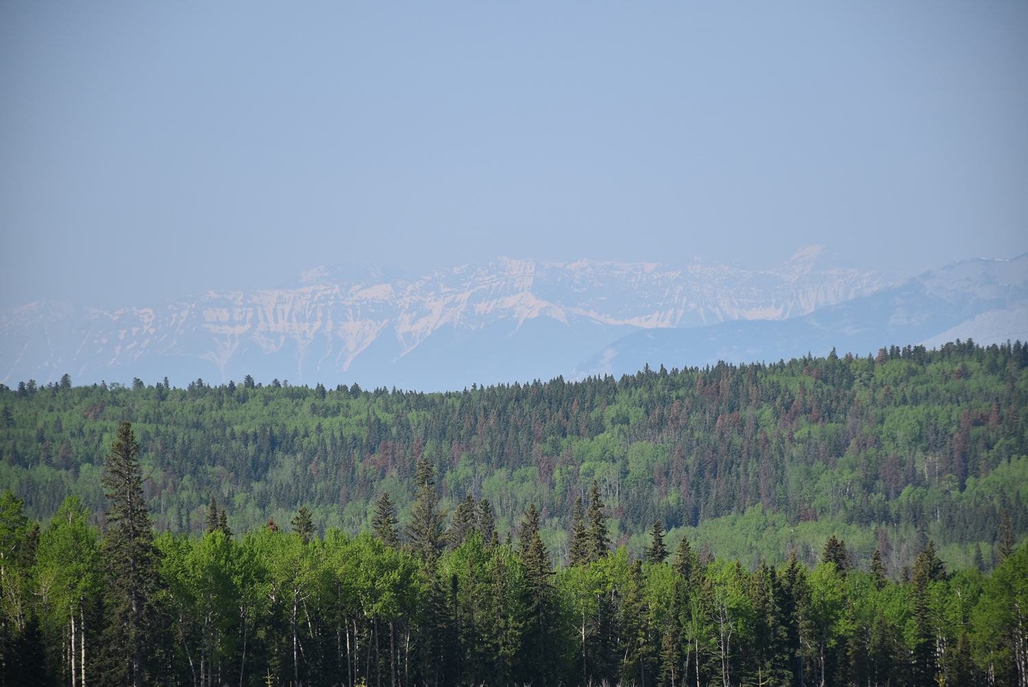
This project was a spatial modelling exercise that created coarse-scale, pre-industrial landscape metrics for the Vanderwell FMA area in Alberta. The primary goal was to understand if, or in what ways the current conditions of the FMA area align with the historical, pre-industrial “natural” range.
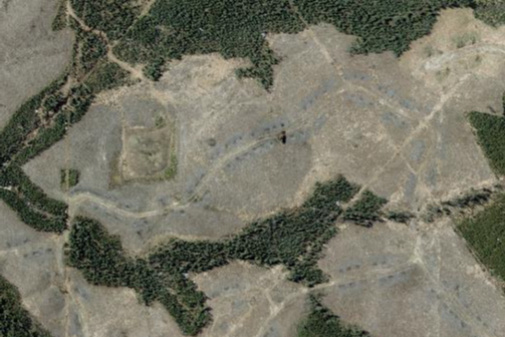
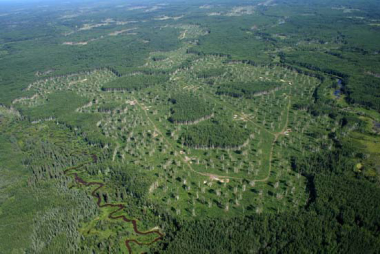
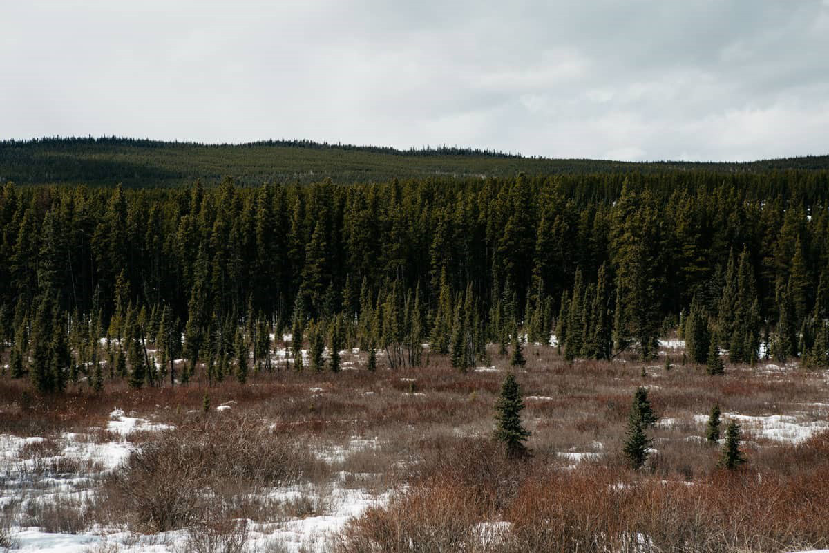
The results suggest that the landscape is almost within NRV, despite the fact that almost two-thirds of it is young, and there is no old forest (which was in fact below the lower end of NRV). The reason for the large area of young forest is recent fire activity—and in particular the 2001 Chisholm fire. This demonstrates the challenge of evaluating NRV at coarse scales on very small boreal landscapes; NRV on small areas is so broad (because of fire activity) that it offers only very general guidance. Ideally, these results should be combined with a regional-scale evaluation of NRV for context.
Lastly, the long-term-fire-cycle assumptions under which this model was run were based on the best available information. However, this part of Alberta lacks specific fire history studies with which to make more robust historical fire cycle estimates. Future research efforts should focus on refining these estimates.